Severe Weather Alerts: Bomb Cyclone, Atmospheric River, and Flash Flood Risks Across the U.S.
This week, the U.S. is bracing for a dramatic clash of weather extremes, with both coasts set to face severe conditions. From Northern California and the Pacific Northwest to the Gulf Coast, damaging winds, torrential rain, heavy snowfall, and the threat of flash floods are creating challenges for millions. Here’s what you need to know about these impactful weather events.
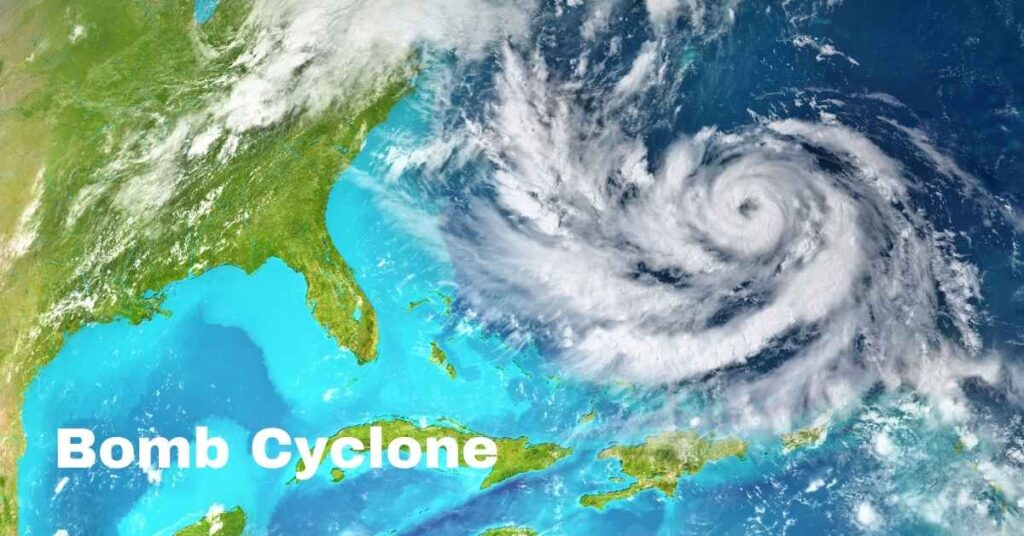
The Bomb Cyclone: What It Means
A bomb cyclone, also known as bombogenesis, is a weather phenomenon where a storm undergoes a rapid drop in air pressure—at least 24 millibars within 24 hours. This week’s system, however, is extraordinary, with a predicted 60-millibar drop in pressure.
The National Weather Service (NWS) describes this as a “rapidly strengthening and extremely powerful” system. It is expected to bring hurricane-force winds of up to 75 mph to Northern California, Washington, and Oregon. These winds are likely to cause:
- Widespread power outages
- Fallen trees and structural damage
- Hazardous travel conditions
Residents in these regions are being urged to prepare for disruptions, secure loose outdoor items, and have emergency supplies ready.
The Atmospheric River: Torrential Rain and Flood Risks
An atmospheric river—a narrow band of moisture that transports water vapor from the Pacific Ocean—is set to follow the bomb cyclone. Starting Wednesday, this system will bring heavy rain to California’s Redwood Coast, northern mountain ranges, and the Sacramento Valley.
Forecasts indicate:
- 5 to 12 inches of rain in the hardest-hit areas
- Flash flooding risks in lower elevations
- Mudslides and debris flows in burn scar regions
- Snowfall at higher elevations (above 6,000 feet)
The Sierra Nevada is under a winter storm watch, with snow accumulations of up to 15 inches predicted. Mountain travelers should expect whiteout conditions, making roads treacherous or impassable.
Thursday is expected to be quieter as the system shifts north, but another round of rain on Friday could bring more widespread impacts, including heavy rain for the San Joaquin Valley and surrounding foothills.
How Will This Impact Northern California?
Northern California will bear the brunt of this powerful weather system. Flood watches have already been issued for the Sacramento Valley, Shasta County, and western Colusa County from Tuesday through Saturday.
On Tuesday morning, temperatures dropped to freezing in parts of California, with Paso Robles recording a chilly 25°F. As rain and wind ramp up, it’s crucial for residents to monitor local updates and avoid unnecessary travel in hazardous conditions.
The strongest impacts will be felt on:
- Wednesday: Peak intensity of the bomb cyclone and initial atmospheric river rain
- Friday: A second atmospheric river event bringing heavier rain
Southern California: A Different Kind of Risk
While Northern California faces heavy rain and snow, Southern California is experiencing dry conditions and gusty Santa Ana winds. These winds are notorious for raising wildfire risks, especially in areas recovering from recent blazes like the Mountain Fire in Ventura County.
This fire destroyed 240 structures and is now 98% contained, but dry and windy conditions could spark new fires or rekindle embers.
Residents in Southern California are advised to:
- Remain vigilant about fire warnings
- Avoid activities that could inadvertently cause sparks
- Follow evacuation orders if needed
Gulf Coast Braces for Heavy Rain and Flash Flooding
Meanwhile, on the other side of the country, the Gulf Coast is preparing for its own bout of severe weather. Heavy rain is forecast from eastern Louisiana to the western Florida Panhandle, with flash floods a major concern.
Eastern and central Gulf Coast residents can expect:
- Localized rainfall totals of several inches
- Flooded streets and low-lying areas
- Severe thunderstorms in some areas
The NWS has emphasized the importance of staying informed, avoiding flooded roadways, and heeding evacuation orders if issued.

Plains Region: Rain and Thunderstorms
In addition to the coasts, parts of the Plains are forecast to experience moderate to heavy rain, along with marginal severe thunderstorms. While this area isn’t facing the same extreme conditions as the Pacific Northwest or Gulf Coast, travelers and residents should still remain cautious.
How to Stay Safe During Severe Weather
If you’re in any of the affected regions, here are some tips to help you prepare and stay safe:
- Monitor Local Weather Alerts: Stay updated with official sources like the National Weather Service or your local meteorologist.
- Prepare Emergency Supplies: Stock up on essentials, including food, water, flashlights, and batteries.
- Secure Outdoor Items: High winds can turn unsecured items into dangerous projectiles.
- Avoid Flooded Areas: Never attempt to drive through floodwaters—it only takes a few inches of water to sweep a car away.
- Have a Plan: Know where to go in case of evacuation, and ensure family members are aware of emergency procedures.
What Comes Next?
While extreme weather events like bomb cyclones and atmospheric rivers aren’t new, their intensity and frequency may increase due to climate change. Scientists continue to study these phenomena to improve forecasting and mitigation strategies.
For now, the priority is safety. Whether you’re facing heavy rain, high winds, flash floods, or wildfire risks, taking precautions and staying informed can make all the difference.
Flood-Proofing Your Car: Essential Flood Insurance Insights and Damage Prevention Tips